

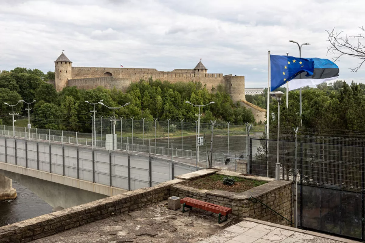
Estonia’s Border Guard has advised boat operators to stop using Google Maps when navigating the River Narva, warning that the service’s inaccurate depiction of the Estonia–Russia control line could lead vessels into Russian territorial waters.
The warning comes amid concerns over the positioning of navigation buoys along the river, where the boundary between the two countries is not consistently reflected across commercial mapping platforms, according to Estonia’s border authorities and ERR.
Regina Kukk, head of the border checkpoint in Narva, said operators should instead rely on dedicated GPS navigation systems or Estonia’s local maritime app Nutimeri.
Authorities said at least four illegal border crossings have been recorded in recent months. In some cases, individuals were issued warnings or fined up to €600.
Border officials noted that responses from Russian border guards have varied, with some crossings resolved within hours, while others took several days to settle.
By Aghakazim Guliyev
Source: caliber.az